Recent searchs
Status
In progress
Start
May 2024
REN
Linear asset monitoring using satellite data
Challenge
Mitigation of the limitations, costs, and other overheads associated with aerial and on-site inspections.
Goals
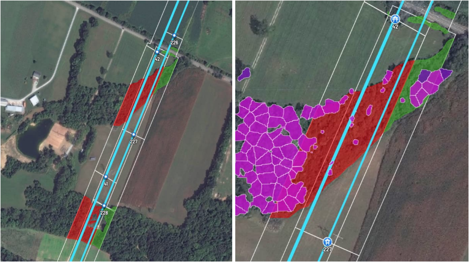
Use of satellite data for monitoring and risk characterization of linear infrastructures.
Benefits
- Reducing the overheads of data processing and management associated to image, video and point-cloud data retrieved by ongoing inspection methods, such as helicopters, drones or by field inspections
- Increasing the frequency of the inspections by means of increased periodicity of data acquisition and processing cycles available for satellite data;
- Reducing the environmental footprint of asset inspection and validation activities;
- Reducing the cost of inspections.
 Repository - Linear asset monitoring using satellite data


0:00
/
0:00